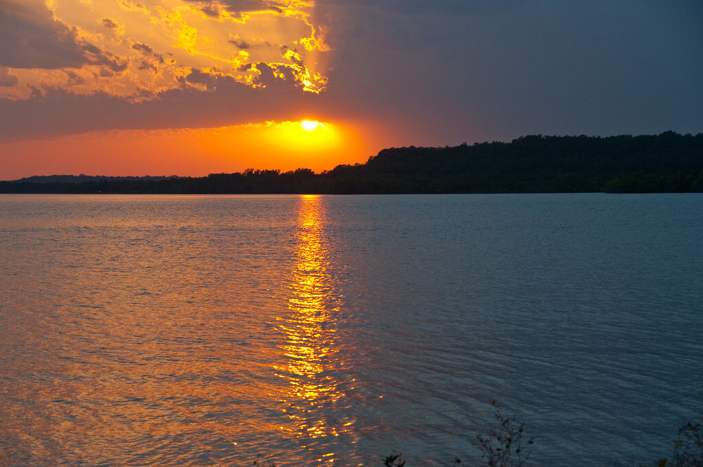
Oologah Lake, Oklahoma
Our home water: a big, fish-rich Corps of Engineers reservoir on the Verdigris River, half an hour northeast of Tulsa. Here's the local's tour — maps, ramps, parks, and what's swimming under the surface.
About the lake
Oologah Lake is a U.S. Army Corps of Engineers (Tulsa District) reservoir impounding the Verdigris River across Rogers and Nowata counties in northeast Oklahoma. At normal pool it covers roughly 29,500 acres — one of the largest lakes in the state — and winds nearly 20 miles from the dam near the town of Oologah up past Nowata, with more than 200 miles of shoreline in creeks, coves, points, and flooded timber.
The lake sits in Will Rogers country: the famous humorist was born just west of the water at Dog Iron Ranch near Oologah, and his birthplace overlooks the lake today. The name "Oologah" comes from a Cherokee word meaning "dark cloud."
For anglers, all that water and structure adds up to serious variety — crappie, three species of catfish, white bass, largemouth and more — with far less boat traffic than the reservoirs closer to Tulsa. It's the reason Kevin has spent his life fishing here, and the water every guided crappie trip runs on.
Lake map: ramps, parks & landmarks
A simplified picture of how Oologah is laid out. The dam and the busiest parks sit at the south end; the lake narrows into river the farther north you go.
Parks & boat ramps
| Area | Side | Good to know |
|---|---|---|
| Hawthorn Bluff | SW, near dam | Big Corps park: camping, swim beach, nature trail |
| Blue Creek Park | SE | Camping and ramp on a fishy creek arm; the sunset photos on this site were shot here |
| Redbud Bay & Marina | S, near dam | The lake's marina, tucked behind the dam |
| Verdigris River Park | Below dam | Access to the river outflow |
| Spencer Creek Cove | E | Camping and ramp mid-lake |
| Sunnyside Ramp | W | Handy west-side launch near Talala |
| Winganon Ramp | E | East-side access off the Winganon road |
| Double Creek Cove | NW | Upper-lake launch near Nowata |
| Big Creek Ramp | NE | Far upper end, river-run water |
| Clermont Park & Will Rogers Birthplace | W | Day use near the historic Dog Iron Ranch |
Sketch map — for trip planning only, not for navigation. For full facility details use the official Corps of Engineers map below.
Official maps
- USACE recreation map — every ramp, park, and facility on one page
- Park detail maps — Blue Creek, Hawthorn Bluff & Spencer Creek close-ups
- Download the full USACE lake brochure (PDF)
Fishing Oologah
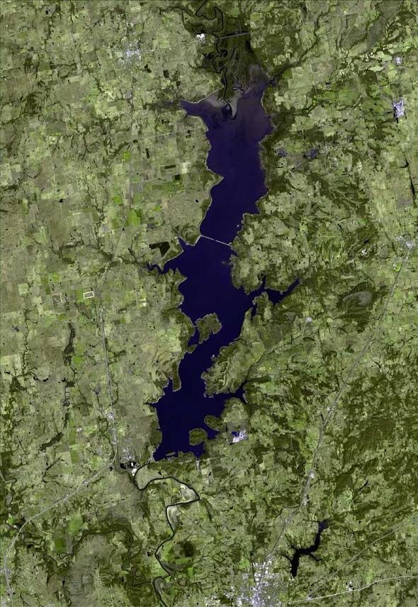
From above you can see why the fishing is good: a long, branching reservoir full of creek mouths, points, and drowned timber, fed by a river that keeps it fertile. Crappie are the headline act — see our crappie fishing guide — but Oologah also carries a strong reputation for blue catfish and spring runs of white bass up the Verdigris.
Water clarity runs stained to muddy, which locals treat as a feature: the fish live shallower, bite less bashfully, and respond to the bright jigs and slow presentations Kevin teaches on every trip.
Satellite imagery courtesy NASA / USGS, processed by terraprints.com — CC BY 2.5
More than fishing
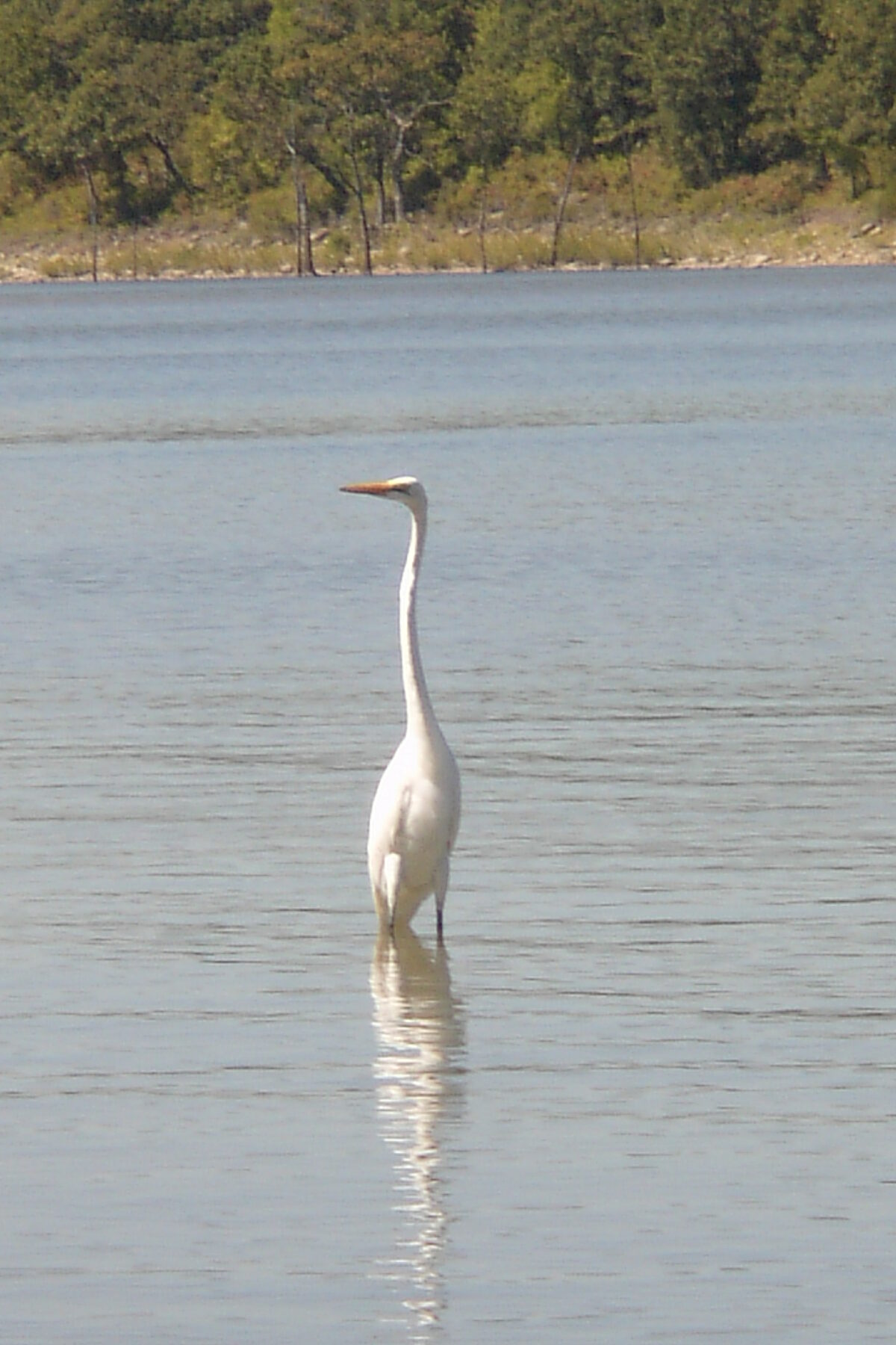
Between stops you'll share the lake with great egrets, herons, white pelicans in migration, deer along the banks, and bald eagles in winter. The upper end of the lake is managed as a state game area, and the shoreline parks fill with campers all summer.
Sunsets over the west shore are the kind that make you set the rod down for a minute. Ask Kevin to time the last stop right.
Egret photo by John from Tulsa, USA — CC BY 2.0
The dam & the river
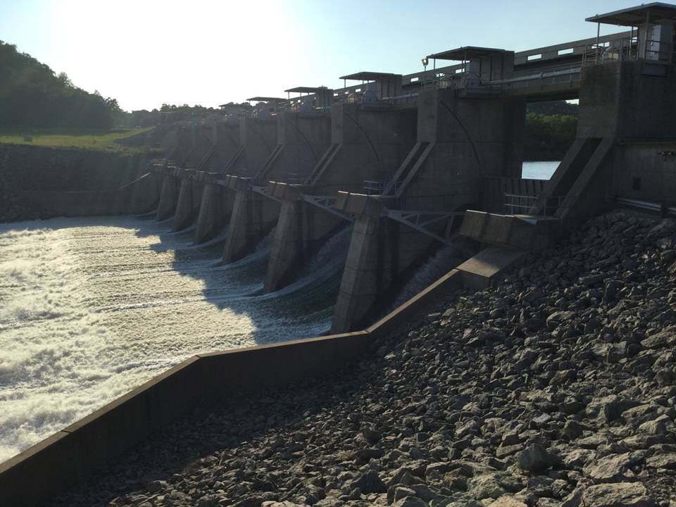
Oologah Dam holds the Verdigris back at the lake's south end near the town of Oologah. Releases feed the river below — part of the same Verdigris system that carries barge traffic on the McClellan–Kerr navigation channel farther downstream. Water level matters to fishing here: rises push crappie into flooded cover, and falls pull them back to channel edges. It's one of the first things Kevin checks every morning.
Dam photos: U.S. Army Corps of Engineers, Tulsa District — credits
Getting here
Oologah Lake sits along US-169 about 30 minutes northeast of Tulsa and 15 minutes north of Claremore. From Tulsa, take US-169 north through Owasso and Collinsville to the town of Oologah, then follow OK-88 east to the dam and the south-end parks. East-side areas like Blue Creek are reached from OK-66/OK-28A through Foyil and Chelsea.
Booked a trip? Don't worry about any of this — Kevin will tell you exactly which ramp to meet at when you book.